
Robert N. Colwell Memorial Fellowship
Purpose The purpose of the Award is to encourage and commend college/university graduate students at the PhD level who display exceptional interest desire ability and aptitude in the field of …

Purpose The purpose of the Award is to encourage and commend college/university graduate students at the PhD level who display exceptional interest desire ability and aptitude in the field of …
Purpose The purpose of the award is to encourage those who have an exceptional interest in pursuing scientific research or education in geospatial science or technology or land information systems/records …
NOTE: THIS AWARD IS NO LONGER OFFERED. Purpose: The purpose of the award is to facilitate graduate-level studies and career goals adjudged to address new and innovative uses of …
Purpose The purpose of the IELA is to improve the quantity and quality of literature in the recipient’s library that deals with the mapping sciences (i.e. photogrammetry remote sensing GIS and …
In addition to the ASPRS Awards and Scholarships Program the Society also grants awards for Professional Achievement Outstanding Papers published in PE&RS Service to the Society and Region activities. These awards …
The designation of Honorary Member is the highest honor ASPRS bestows on any individual. As outlined in the Society’s bylaws an Honorary Member shall be an individual who has rendered …
The designation of Fellow is conferred on active Society members who have performed exceptional service in advancing the science and use of the mapping sciences (e.g. photogrammetry remote sensing surveying …
The Outstanding Workshop Instructor Award is conferred by ASPRS in recognition of special personal and meritorious contributions to continued organization promotion and/or delivery of workshops at the ASPRS Annual and …
The Photogrammetric Award (Fairchild) is presented by ASPRS through the ASPRS Foundation with the support of Lockheed Martin. The purpose of the Award is to stimulate the development of the …
The Bylaws Committee consists of two or more members of the Society and is chaired by a national Director. The Executive Director also serves as a member of the Committee. …
Background The American Society for Photogrammetry and Remote Sensing (ASPRS) through the ASPRS Foundation is pleased to offer the annual Outstanding Technical Achievement Award (OTAA). The purpose of this Award …
The Leidos (formerly SAIC) Estes Memorial Teaching Award is made in honor of Professor John E. (“Jack”) Estes teacher mentor scientist and friend of the American Society for Photogrammetry and …
ASPRS annually selects qualified students to attend ASPRS Conferences with which includes lodging for each recipient and complimentary registration to the conference where the recipients serve as Student Assistants provided …
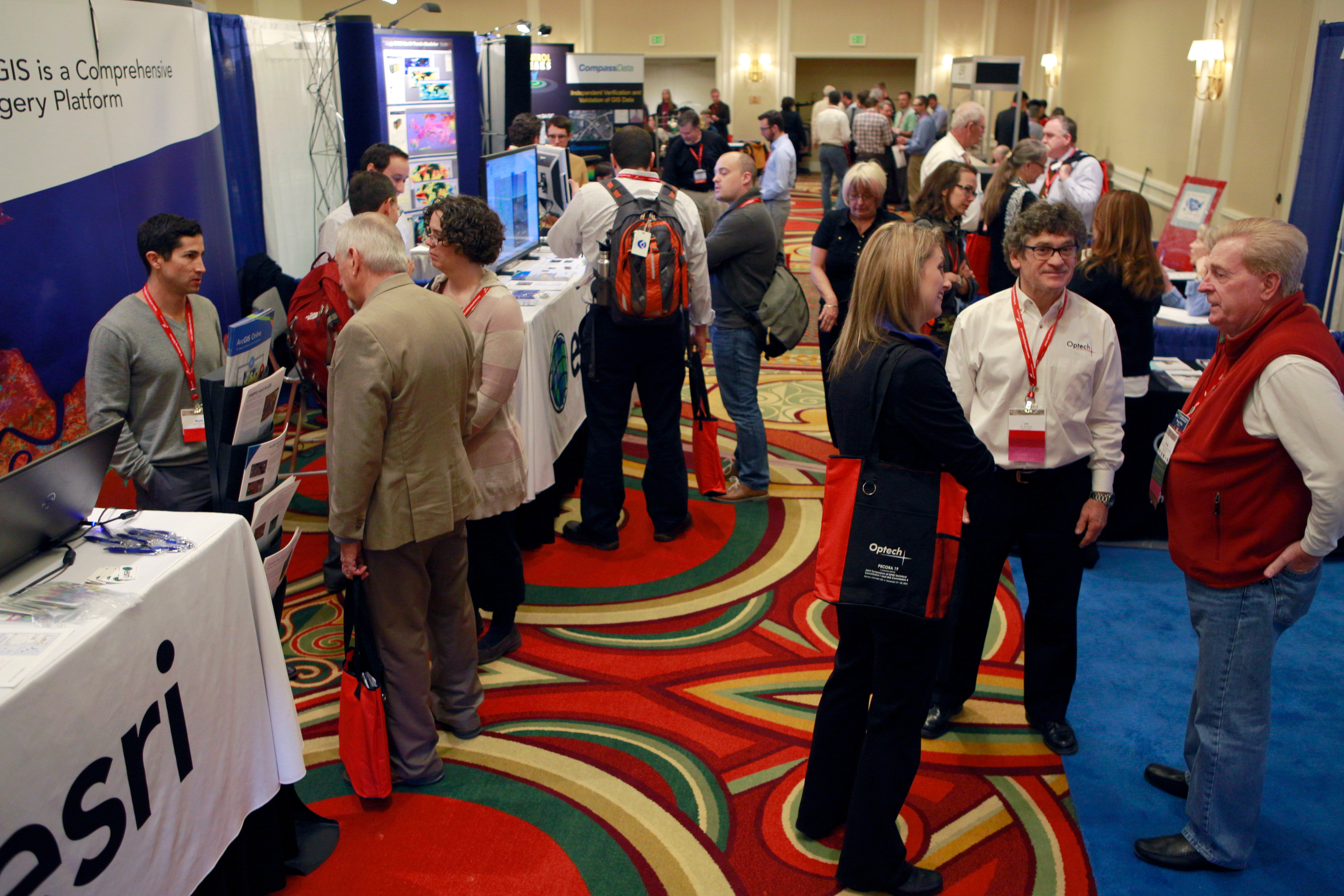
The ASPRS Annual Conferences have been RE-designed RE-imagined and RE-thought with YOU in mind! The NEW Imaging and Geospatial Technology Forum (IGTF) was held at the Fort Worth Convention Center in …
Starting April 21 CRR will hold a monthly standing meeting every third Thursday of the month at the Lucky Labrador Brewery 715 SE Hawthorne Blvd. Portland OR. Contact Jamie Ludwig …
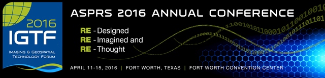
IGTF 2016 ASPRS 2016 Annual Conference and co-located JACIE Workshop April 11 – 15 2016 Fort Worth Texas USA Conference Links: IGTF 2016 Conference Website Hotel Information Select this …
Purpose: To facilitate research-related travel by outstanding graduate students in remote sensing. Such travel includes field investigations agency visits participation in conferences or any travel that enhances or facilitates a …

GIS in the Rockies returns to The Cable Center in Denver in 2016 offering outstanding professional workshops and presentations networking exhibitors Career Development Academy social events and more.
The Association of Environmental & Engineering Geologists will be holding their 2016 Annual Meeting in Kona Hawaii September 18-24 2016.
Contributions to this sessions are welcome with thematic focus on environmental geology geological and geomorphological mapping detection and mapping of mass movements trigger identification monitoring of erosion shallow and deep-seated landslides.
25-28 September 2016, GSA 2016, Denver Colorado. Abstract Deadline 12 July 2016 Early Registration Deadline 22 August 2016 http://community.geosociety.org/gsa2016/home
Get more information.